Difference between revisions of "MRP: Smyrna"
| Line 36: | Line 36: | ||
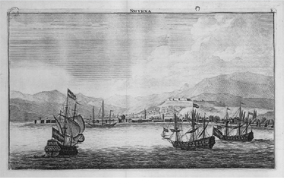
===Vue de Port de Smyrne, Le Brun, 1714=== | ===Vue de Port de Smyrne, Le Brun, 1714=== | ||
| − | [[File:BOOK_PAGE_Le_Brun_C_Smyrna_Voyages_au_Levant_1714_BNF_DL_CSG_130112.PNG|thumbnail| | + | [[File:BOOK_PAGE_Le_Brun_C_Smyrna_Voyages_au_Levant_1714_BNF_DL_CSG_130112.PNG|thumbnail|1000px|none|Vue de Port de Smyrne]] |
---- | ---- | ||
===Image credits & copyright information=== | ===Image credits & copyright information=== | ||
Revision as of 23:10, January 13, 2012
Smyrna
Editorial history
20/12/11, CSG: Created page
Contents
Suggested links
See Aleppo
See Constantinople
See Galatia
See Tripoli
See Tunis
See Venice
To do
Images
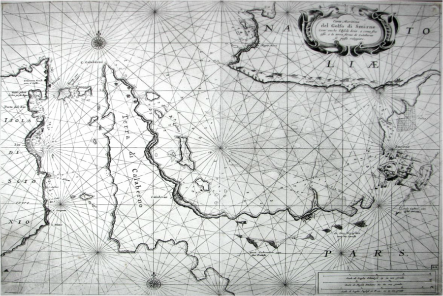
Golfo di Smirne, 1664
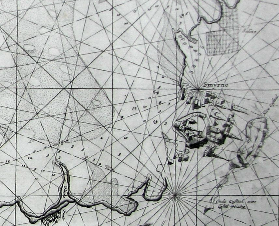
Detail of Golfo de Smirne, 1664
Town plan
Insert Town plan
Vue de Port de Smyrne, Le Brun, 1714
Image credits & copyright information
(1) Levanto, Francecsco M., 'Carta Maritima del Golfo di Smirne', (XXXX, 1664)
- Sourced, with thanks, from RareCharts, South Carolina
(2) Levanto, Francecsco M., Detail of 'Carta Maritima del Golfo di Smirne', (XXXX, 1664)
- Sourced, with thanks, from RareCharts, South Carolina
(3) Le Brun, Corneille, 'Vue du port de Smyrne', in Illustrations de Voyage au Levant (Paris, 1714), pl. dépl. en reg. p. 21[1]
- taille-douce : n. et b. ; 31 x 188 cm et moins
- Mulder, grav.; R. Du Val, dess. ; Corneille Le Brun, aut. du texte
Town profile
Notes
Suggested image sources
'View of Smyrna harbour,' Henri Abraham Chatelain, Atlas Historique et Methodique (Amsterdam, 1714)
- The atlas was published in seven volumes
'Carta Maritima del Golfo di Smirne', in Francescao M. Levanto, "La Prima Parte dello Specchio del Mare" (Sea Mirror) (XXXX, 1664)
- Rare portolan-style sea chart of east coast of Chios, Greece and the coast of Turkey around Izmir by Genoan cartographer Francesco Maria Levanto. Charming oblique profile depicitions of Smirne (Izmir) and Sio (Chios, Greece). Charts of Turkey from the mid 17th century are quite scarce
- From Levanto's "La Prima Parte dello Specchio del Mare" (Sea Mirror). Probably based on earlier Dutch charts, possibly influenced by Jacobsz. Place names and notes in Dutch and Italian. With an inset coastal profile and an elaborate decorative cartouche
Suggested primary sources
Suggested secondary sources
- ↑ http://gallica.bnf.fr/ark:/12148/btv1b23007623/f6.item, viewed 13/01/12


